
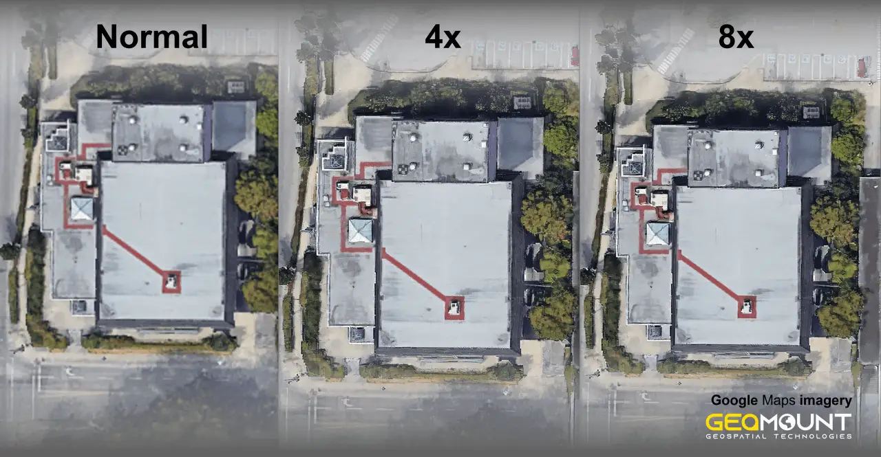
In the realm of satellite imagery and UAV (Unmanned Aerial Vehicle) systems, Enhanced Super-Resolution Generative Adversarial Networks (ESRGAN) stands as a game-changer. Developed by Geomount Inc., this innovative approach harnesses the power of Deep Learning to significantly enhance image quality …
Aerial surveying of landfills is a crucial aspect of landfill management, providing a comprehensive overview of the site from a bird’s-eye view. It is important to perform aerial surveys annually for several reasons, including: Furthermore, regular aerial surveying provides valuable …
Geomount Inc. had the honour of holding a lunch and learn for City of Chilliwack in City Hall. The event was a huge success, and we had the pleasure of meeting some of the city’s most talented professionals. During the lunch and learn, …
Bathymetric surveys are used to measure the depths of the lake and can be used for a variety of purposes, from mapping the river and lake floors to finding shipwrecks. In the past, bathymetric surveys have been conducted by manual …


