Precision. Innovation, Results
With tailored strategies, advanced sensing tools, and a focus on measurable outcomes,
We support every stage of your project from assessment and design to monitoring and optimization.
INTEGRATED / SOLUTIONS
Geomount Inc. combines engineering expertise, environmental insight, and advanced geospatial technologies to support infrastructure planning, climate resilience, and sustainable development. Our services integrate GIS, UAV mapping, LiDAR, digital modelling, and technical analysis to help clients assess site conditions, improve project planning, and make informed decisions.
CLIMATE RESILIENCE
Risk Assessment & Adaptation
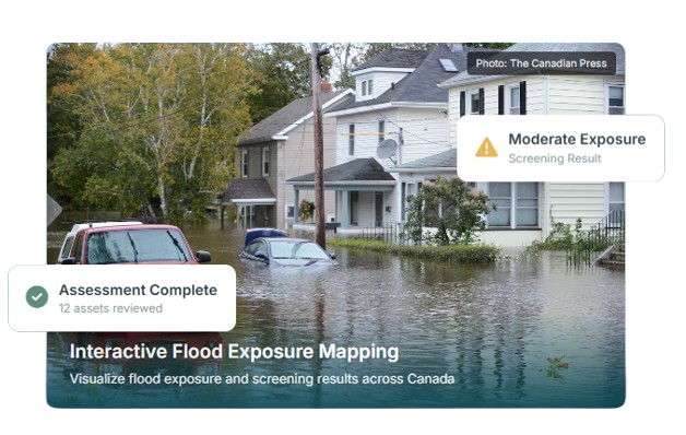
Flood hazard mapping, climate risk modelling, infrastructure vulnerability, and adaptation planning.
Flood risk and inundation modelling
Climate vulnerability assessments
Infrastructure resilience analysis
Hazard mapping and adaptation strategies
Stormwater & Water Resources
Stormwater modelling, drainage design, watershed analysis, bathymetric surveys, and water infrastructure solutions.
Hydrologic and hydraulic modelling
Stormwater and drainage systems
Bathymetric and hydrographic surveys
Watershed and water infrastructure analysis
WATER
MANAGEMENT
Monitoring & Spatial Intelligence
Geomount combines GIS, remote sensing, environmental data analysis, and geospatial technologies to assess environmental conditions, monitor landscape changes, and support sustainable land-use planning.
Our Capabilities
Environmental GIS and remote sensing
Water quality monitoring and watershed analysis
Land-use, land-cover, and vegetation mapping
Environmental change detection and monitoring
Terrain analysis and erosion mapping
Spatial data visualization and environmental intelligence
Site Planning & Sustainable Design
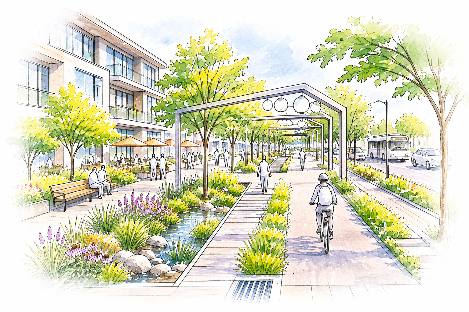
Geomount integrates site planning, landscape design, CAD and BIM modelling, and geospatial analysis to support urban development projects. Our services combine terrain assessment, land-use planning, and sustainable infrastructure solutions to improve site layouts, manage development constraints, and create functional, resilient urban spaces.
Our Capabilities
Site planning and land development
Landscape design and green infrastructure
CAD drafting and BIM modelling
Grading, drainage, and terrain analysis
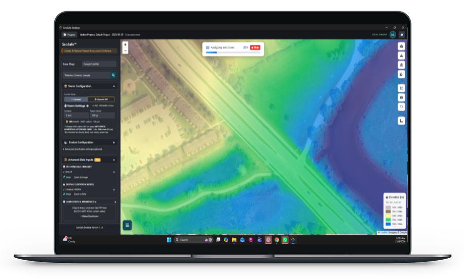
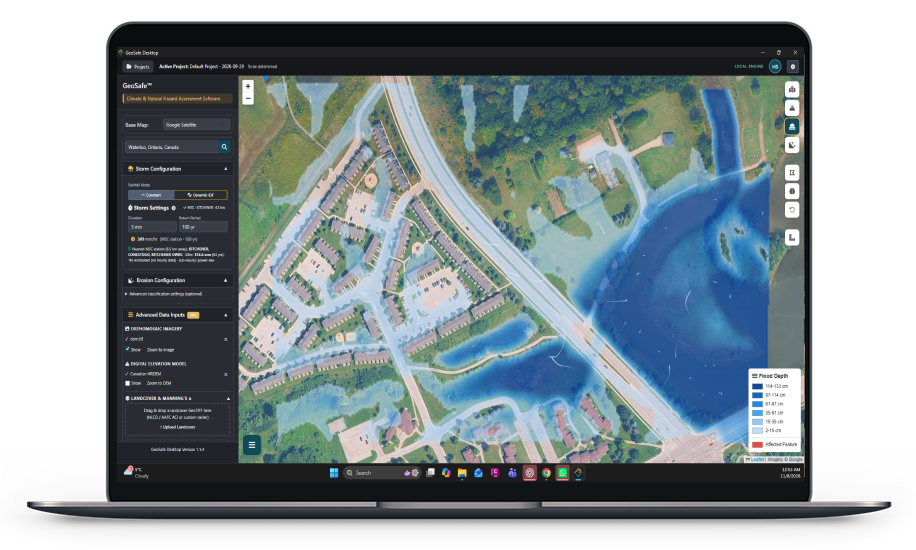
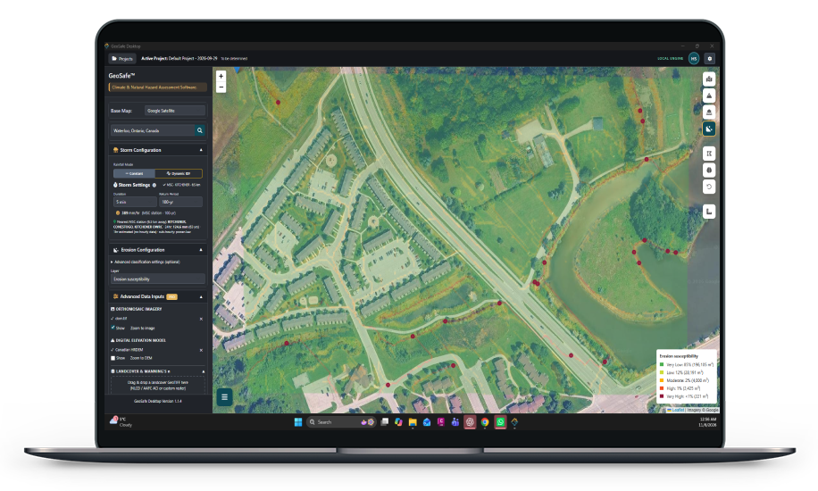
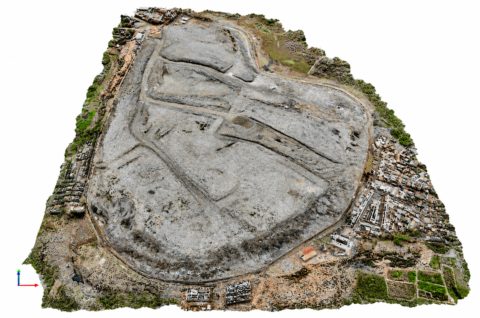
Our teams can immediately visualize land cover by generating real-time 2D orthomosaics and identifying changes. We can accurately measure the volume of stockpiles and construction aggregates by using 3D models created from aerial images.
Transportation & Energy Solutions
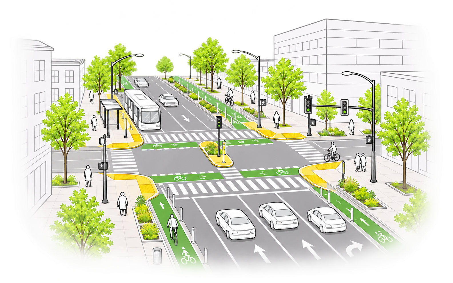
Geomount integrates transportation planning, roadway design, lighting analysis, and energy assessment to improve infrastructure safety, efficiency, and sustainability. Our services combine engineering analysis, GIS, and digital modelling to support transportation networks, buildings, and energy systems.
Our Capabilities
Transportation planning, roadway design, and mobility analysis
Traffic assessments, road safety, and infrastructure planning
Roadway, street, and pedestrian lighting design and analysis
Building energy audits, modelling, and efficiency assessments
TRAINING SCHOOL
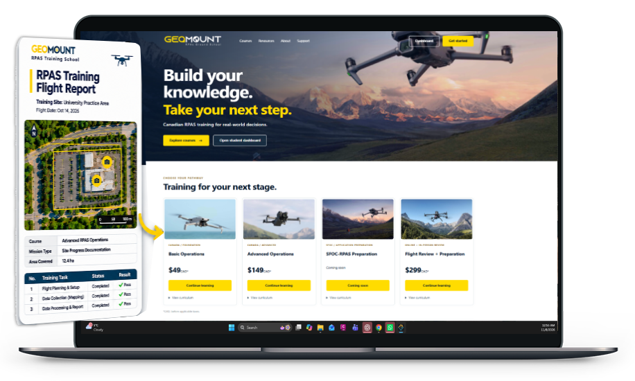
Geomount RPAS Ground School provides online training for drone pilots preparing for Transport Canada Basic and Advanced Operations examinations.
Our courses cover Canadian aviation regulations, airspace, meteorology, flight planning, RPAS systems, and safe operating procedures. Through structured lessons, knowledge assessments, and practical examples, we help pilots develop the knowledge required for responsible drone operations.
Our Training Programs
Basic RPAS Operations
Advanced RPAS Ground School
Canadian Aviation Regulations and Airspace
Flight Planning, Safety, and Risk Management
Explore Our Courses: school.geomount.ca