
Planning Better Urban Spaces
Geomount provides integrated urban development solutions that combine site planning, landscape design, geospatial analysis, and sustainable development strategies. We help clients create functional, resilient, and environmentally responsible spaces.


sITE PLANNING
Our site planning services integrate geospatial data, terrain analysis, and development considerations to support informed land-use decisions. We help clients evaluate site conditions, identify development constraints, and develop practical, sustainable planning solutions.
Using UAV surveys, GIS mapping, and high-resolution terrain models, Geomount provides accurate spatial information to support site layouts, infrastructure planning, landscape design, and development assessments.
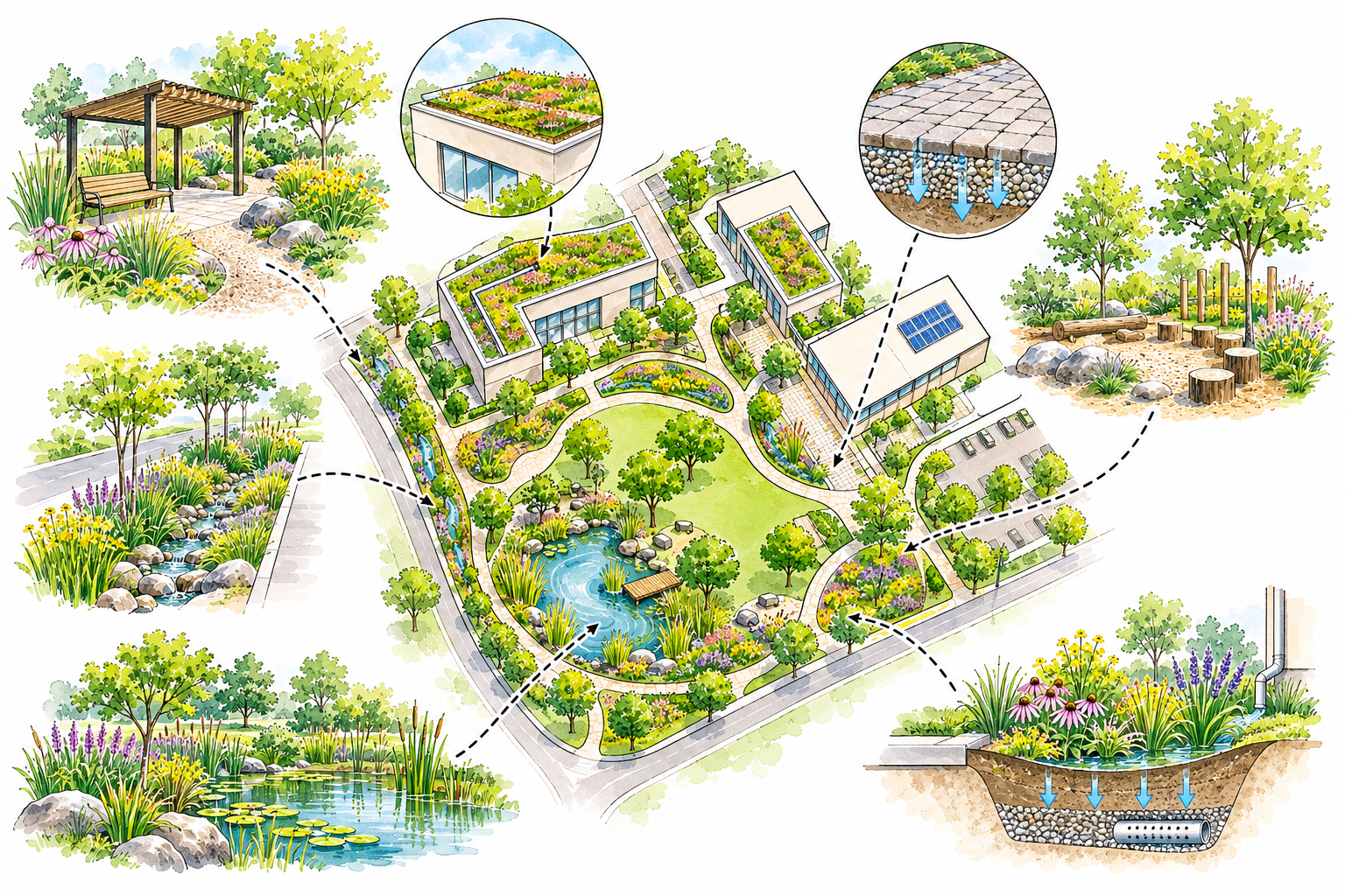
Geomount supports land development projects through site assessment, geospatial analysis, and sustainable land-use planning. We help clients understand site conditions, evaluate development opportunities, and identify environmental and regulatory constraints.
- Site feasibility assessments
- Land-use and zoning analysis
- Site layout and development planning
- Topographic surveys and terrain modelling
- Grading and drainage assessments
- Landscape and green space planning
- Infrastructure and utility coordination
- GIS mapping and spatial analysis
- Sustainable development planning
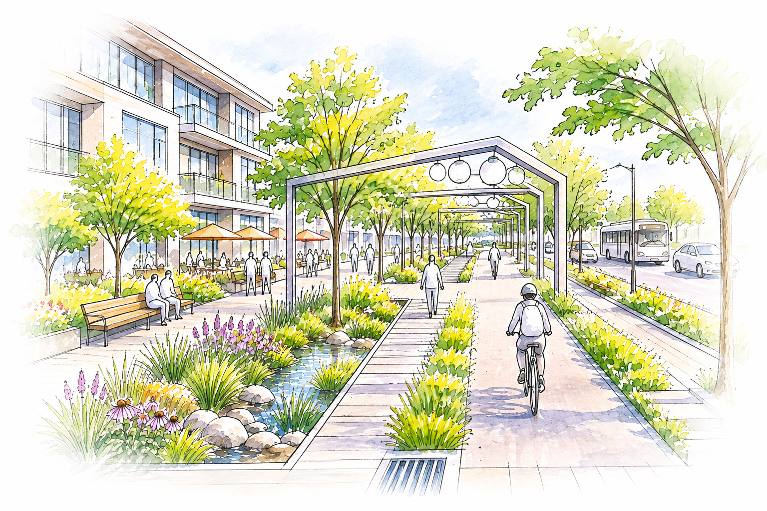
We create sustainable urban spaces through site planning, landscape design, and green infrastructure, supporting resilient and livable communities.
Our solutions integrate rain gardens, bioswales, green roofs, and sustainable drainage systems (SuDS), supported by GIS and terrain modelling to improve land use and stormwater management.
SUSTAINABLE
URBAN DEVELOPMENT
Optimize land use through integrated site planning and geospatial analysis.
Reduce development costs by identifying site constraints early.
Integrate rain gardens, bioswales, permeable pavements, and green infrastructure.
Improve stormwater management through sustainable drainage systems (SuDS).
Support climate-resilient communities with environmentally responsible design.
Use GIS, UAV mapping, and 3D terrain models to visualize development opportunities and support informed planning decisions.
GREEN INFRASTRUCTURE
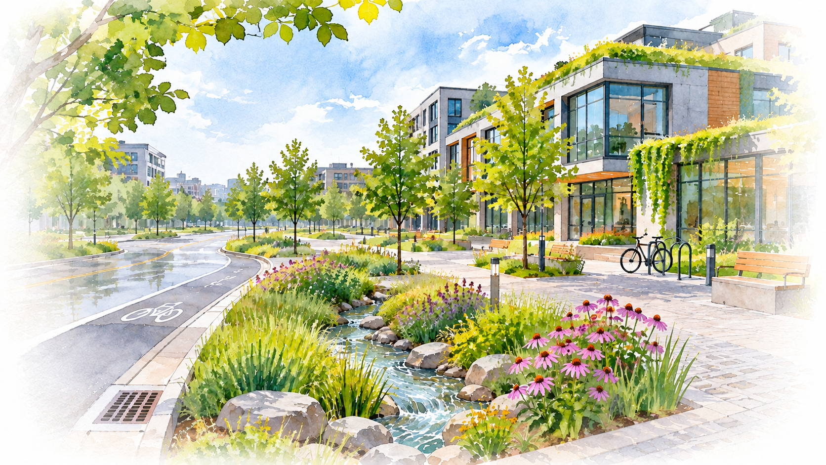
Green infrastructure integrates natural systems into urban development to improve stormwater management, environmental performance, and community resilience. Geomount combines GIS, terrain modelling, and site assessments to support rain gardens, bioswales, permeable pavements, green roofs, and sustainable drainage solutions.
Our team combines geospatial analysis, landscape planning, and green infrastructure to help clients make informed development decisions, improve land-use efficiency, and create functional, resilient urban environments.
Improve site layouts through GIS analysis, terrain modelling, and informed planning to maximize land efficiency.
Integrate rain gardens, bioswales, permeable pavements, and sustainable drainage systems to manage runoff.
Minimize environmental impacts through green infrastructure, landscape planning, and sustainable design.
Support climate adaptation through flood-conscious planning, natural drainage, and resilient urban landscapes.
Sustainable Urban Development
Geomount supports urban development projects from initial site assessment and planning through detailed design and implementation. Our services integrate land-use planning, landscape design, geospatial analysis, and sustainable infrastructure solutions.
We specialize in site layout planning, grading and drainage design, green infrastructure, and stormwater management. Using GIS, UAV mapping, and terrain modelling, we help clients develop functional, environmentally responsible, and climate-resilient urban spaces.